The terrain should be chosen in such a way that the principle of sports fairness is ensured for all participants. It must be suitable for running and for testing the competitors’ orienteering skills.
The orienteering course is marked with a start, control points and a finish. Between these points, which are given an exact location on the ground and, accordingly, on the map, there are races, which the participants must navigate.
The point from which orientation on the first leg begins is marked on the ground by a control prism without marking devices and a triangle on the map. Participants must orient themselves immediately from the start.
The course sections (between controls) are the most important elements of the orienteering course and largely determine its quality. Within the course, you should offer different types of races, some of which should require intensive map reading, others easier to choose the way of movement. There should also be variations in the length and difficulty of the course. Races that encourage competitors to cross prohibited or dangerous areas should be avoided.
Control points (CPs) are located on terrain features marked on the map. Participants must visit them in a given direction, if such an order is defined, but following their own chosen path. Controls should not be located on small objects that can be seen only at close range, unless there are other auxiliary objects on the map.
Controls on different courses that are too close together can be confusing to athletes who are moving correctly to the control. Only if the objects of the controls are clearly distinguishable both on the ground and on the map may controls be placed closer than 100 meters apart.
Finish. At least the last part of the course to the finish line must be marked.
Competition uniform
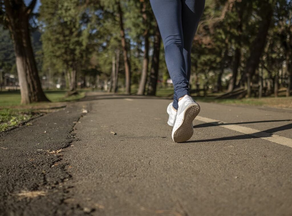
Clothing should be lightweight, elastic, protecting against undergrowth and branches and providing maximum freedom of movement even when wet.
Footwear – lightweight, durable shoes with a special tread on the sole that provides a confident grip on the ground.
Compass. Special sports compasses are used for orienteering.
Map – the participant receives a special thematic map at the start with the course marked in red. The map contains detailed information about the terrain: relief, vegetation and objects such as rocks and stones.
Control card – orienteers must make marks on a special card at each control as proof that all controls have been completed in the correct sequence. The device for marking on the control can be a colored pencil, a composter or a special electronic device.