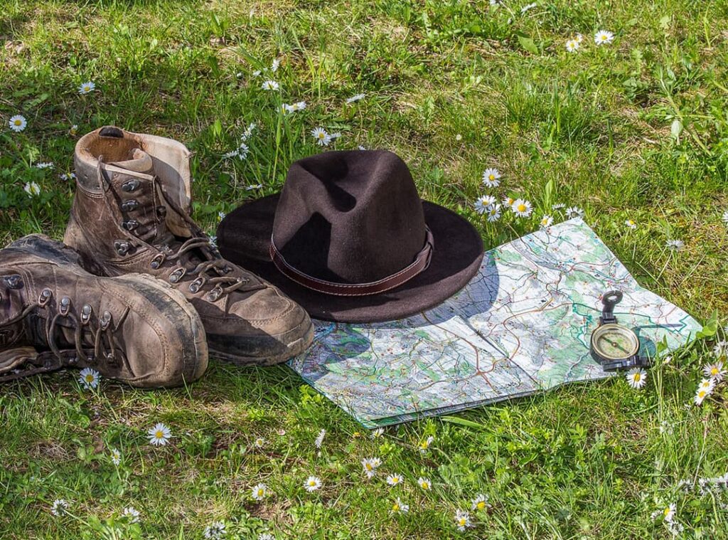
A sports map is a special large-scale thematic multicolor terrain map designed for orienteering and made in specific symbols. It should reflect every object that affects the reading of the map or the choice of the path: relief forms, stones, ground surface condition, passability, land use, hydrography, settlements, individual buildings, road and trail network, communication lines, as well as details used for orienteering purposes. Landforms are one of the most important aspects of a map. Particular attention should be paid to the correct use of horizontals to show a three-dimensional representation of the surface shape and elevation differences.
When preparing the map, you should take into account the criteria for the size of the displayed objects, at which they will be distinguished on the ground, forest visibility and passability. The boundaries between different types of land surface are also useful reference points for athletes. It is important that the map shows the boundaries of swamps, hard ground, rocky areas, and rocky outcrops.
The passability and visibility of the terrain affects the choice of path and running speed. Information about this should be shown on the map by classifying the paths of roads, swamps, water obstacles, passability of rocky outcrops and forests; showing the condition of the surface, ground and the presence of open spaces. Clearly visible vegetation boundaries should also be shown, as they can be used by the athlete when choosing a path.
The map should contain details that are visible on the ground and are important from the athlete’s point of view. That is, all symbols should be clearly drawn, in acceptable sizes for normal vision.
On maps, all inscriptions are oriented in the south-north direction, which makes it easier to navigate. In addition, as a rule, the edge of the map sheet is also parallel to the magnetic meridian.
Maps prepared for mass competitions often include a table with symbols for the main signs, which makes it easier for beginners to navigate the course. In addition, such a map has bright arrows pointing north. But, regardless of the class of competition: for mass categories or masters of sports, the map must be accurate.
The accuracy of sports maps in general depends on the accuracy of measurements (position of objects, their shape, height) and the accuracy of the drawing. The accuracy of the position on the map should be consistent with the accuracy measured by the compass and steps. Terrain details must be drawn with such precision to ensure that the athlete, using the map, compass and footsteps, will not be able to tell the difference between the map and the terrain.
Objects or points that an athlete connects in his or her mind during orienteering are called waypoints. When an athlete moves from one object to another along the azimuth, such points are called points connected by azimuth. Objects (points) that the athlete does not connect to each other while moving along the course are called unconnected points.
The accuracy of the shape display is the most important thing for an athlete.
